contact Cover


 Appendix B: Wavelet Transforms

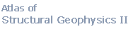
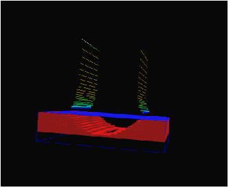
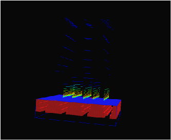
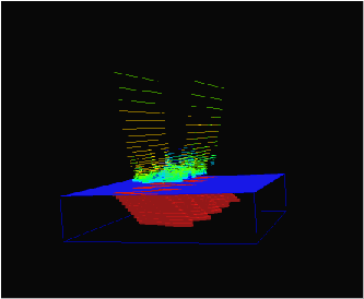
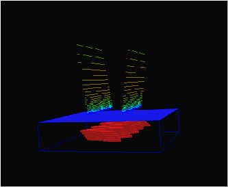
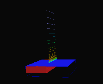
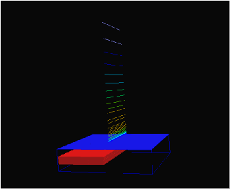
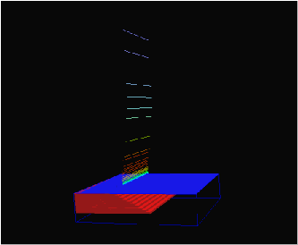
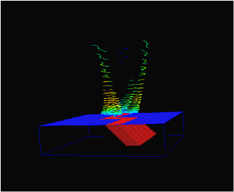
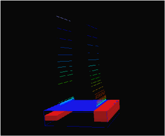
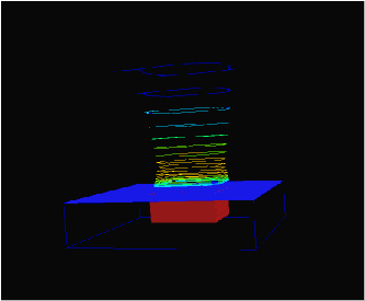
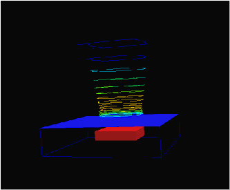
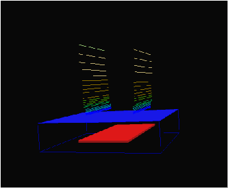
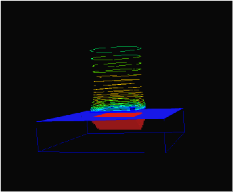
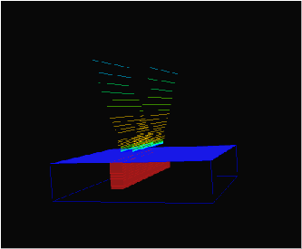
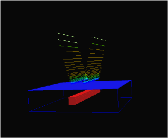
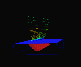
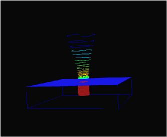
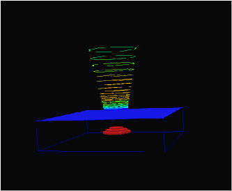
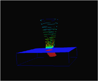
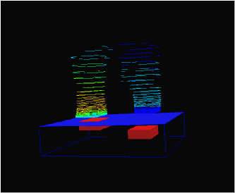
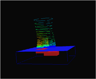
This page contains links to a series of VRML format files showing 3D structures and their corresponding wavelet transforms. The transforms are lower resolution that the animations in the bulk of the Atlas, so that they can be loaded easily into a VRML viewer.

The wavelet transforms display the position of the local maxima in the horizontal gradient in gravity field at various heights above the Earth's surface (as calculated by upward continuation). The colours for each position reflect the intensity of the local maximum. Additional information on wavelet transforms of potential field data can be found in the following Exploration Geophysics articles:
Click on the images to launch a VRML viewer. There are many different VRML Viewers available, and the availability of any one piece of software is not very stable, however at the time of production of this site 3D Exploration is a good one.


A legend is provided at the end of this page.

Faults and Shear zones


single vertical fault with outcroping high density unit

single vertical fault with buried high density unit

single dipping fault with high density unit reaching surface
 

dipping sheet cut by vertical shear zone

two faults: one vertical fault with high density unit that outcrops and one vertical fault which does not outcrop
Folds


single fold with horizontal fold axis

multiple folds with horizontal fold axes

multiple folds with horizontal fold axes

plunging folds which outcrops

plunging folds which do not outcrop
Intrusions


rectangular section plug that outcrops

rectangular section plug that does not outcrop

rectangular section horizontal sheet that does not outcrop

rectangular section plug with tapered root that outcrops

vertical dyke which outcrops

vertical dyke which does not outcrop

inclined dyke which outcrops

vertical cylindrical plug which outcrops

tapered plug which does not outcrop

plugning cylindrical plug which outcrops

two well separated rectangular section plugs, one outcrops

two overlapping rectangular section plugs, one outcrops


Key
Survey Parameters
Scales
high
r = red
background
r = transparent
image width
10,000 m
 
 
  wavelet intensity  

max


min

All models created using
Noddy
Copyright © 1998-2002 AGCRC & Mark Jessell

WWW conversion by Ian Brayshaw